


Deep inside the arid climate of Marsabit County lies a remote paradise for nature lovers and mountain climbers’ enthusiasts.
Up in the North lies an island of volcanic and densely forested mountain and three crater lakes, which provides a haven for a variety of birdlife, mammals and reptiles.
Mt. Marsabit in Marsabit Central near Marsabit Town is an icon of hope in the middle of the dry and arid climatic.
The massive shield volcano mountain covering over one thousand square kilometers and raising above 1,700 meters above sea level is a vital ecosystem for over 150,000 residents of Marsabit Central and sections of North Horr Constituencies.
The annual mean rainfall around the mountain is slightly above 1,000 mm, which is not far from what places like Nairobi receive in a year, but significantly higher than the neighboring lowlands of Chalbi which receives less than 300 mm per year.
The mountain plays a critical role in hydrology far and beyond the mountain itself, and stretching as far as Chalbi Desert (both runoff and groundwater).
The mountain is major driver of economic and human settlement activities in this arid part of the country.
Marsabit Town, which is the county headquarters, is found on the slopes of the mountain, and its climatic condition can actually be mistaken with the Central Kenya Highlights climate.
The mist covering the town in the better period of the year especially during the morning hours and rainy seasons could be mistaken with Limuru.
Unfortunately, the misty weather in the town has also turned catastrophic with the 2006 Air Crash that killed all the four Members of Parliament from Marsabit County and Assistant Minister Mirugi Kariuki among other leaders. The crash was mainly attributed to poor weather.
The town is relatively cool with the mean annual temperature being 24 degrees celcius. This is significantly lower than the neighboring Chalbi desert whose temperatures rise to a high of 40 degrees centigrade.
The mountain is a major driver of the agricultural activities around Saku, whose climate is very conducive for rain-fed agriculture. Vegetables, fruits and cereal farming are common in Saku, while some cash crops like Miraa also thrive well in the area.


Mt. Marsabit is protected and is part of the Mt. Marsabit National Park. The park has two main gates; Ahmed with an exit at Karare, and Abdul to the park headquarters.
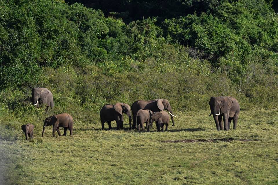
The beautiful Marsabit park may be a refuge for huge tusked bull elephants, diverse birdlife and reptiles. Hikes within the dense forest, wreathed in mist are often enjoyed along side camel rides, bird watching and visits to the singing wells.
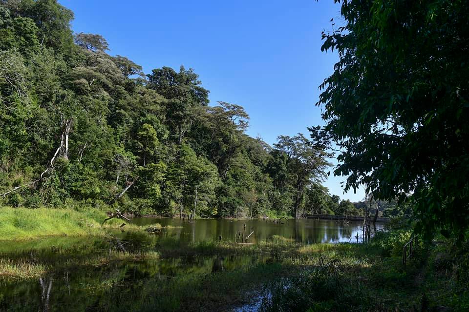
The mountain is also home to Lake Paradise (pictured below) and attracts a number of local and international tourists.


The accessibility to the mountain has been made easy with the paving of the Isiolo-Marsabit Road, which in the past was a night mare for travelers. Before tarmacking, the journey from Isiolo to Marsabit would take an average of 12 hours, and even more during the rainy season coupled with insecurity. However, with the pavement of the road, the journey has be cut by almost a third and the security has improved.